Tokelau/Samoa Coral Reef Survey
Project Overview:
New Zealand Geographic and Conservation International are collaborating on baseline survey of reefs around the remote archipelago of Tokelau and Samoa. The team will be deploying the latest photogrammetric tools and using eDNA analysis and VR to survey coral reefs in the region. Photogrammetry is the use of photographs to make accurate measurements and to reconstruct dimensions and positions of objects from overlapping images. These new technologies allow radical new insights into our underwater world. The scientific and tech team includes a total of eight people, joining and departing the vessel in Samoa. The work will span 12 days either in October/November 2024 or between April and July 2025.
Program Partners
- New Zealand Geographic
- Citizens of the Sea
- Conservation International
Location
- Samoa & Tokelauy
Expected Time Frame
- October/November 2024 or between April and July 2025
Duration of Expedition
- 12 Days
Accommodation Needed
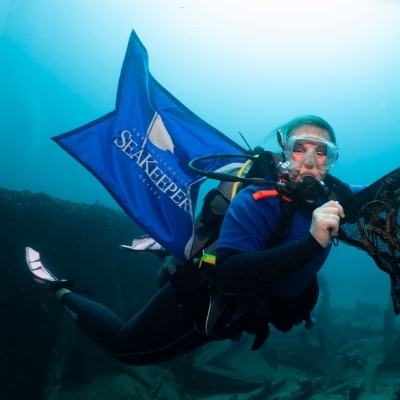
- 6 to 8 researchers and 1 SeaKeeper
Special Equipment Needed
- Access to tender or smaller vessel; compressor (for scuba diving); lazarette or storage compartment for certain equipment
Expedition parameters listed above are flexible and negotiable.
Background:
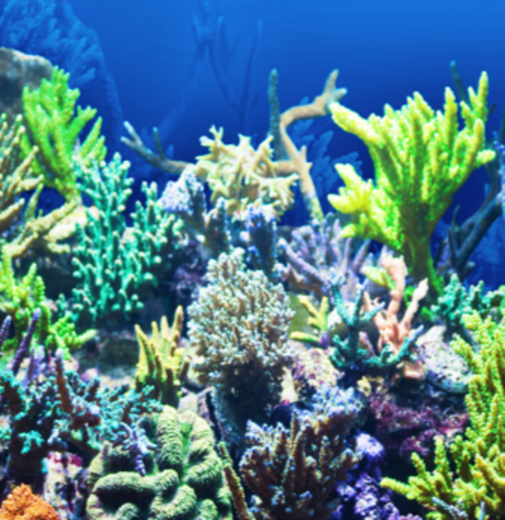
Tokelau, a dependent territory of New Zealand, is one of the least studied Pacific Islands. It is exposed to illegal fishing, coral bleaching events, and extreme weather events. Building strong baseline data for the archipelago using methodologies that allow for follow-up surveys by the community creates opportunities for regularly updated data and promotes local investment in the results. This research blends biodiversity surveys, eDNA collection and photogrammetric surveys with public-facing engagement programs using 3D/360-VR and citizen science.
Mission:
On this expedition, the research team will conduct surveys of Tokelau’s marine environment using photogrammetry to evaluate reef health and gather baseline data on marine environment. They will also complete eDNA tows offshore and inshore of Samoa and Tokelau to establish biodiversity baselines, film 360/3D-VR sequences on and around Tokelau fringing reef, and conduct aerial surveys and develop photogrammetric models using drones.
Program Partners:
Get Involved
If you’re interested in learning more about this specific program opportunity, please reach out to our team below to find out more about this program or get involved in other opportunities with SeaKeepers.
Explore More Opportunities
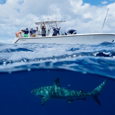
At-Sea Opportunities
Citizen Science Opportunities
Education Opportunities
