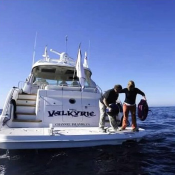
Citizen Science Initiatives
Neuston Net Research Collective
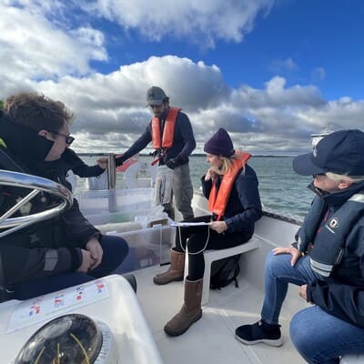
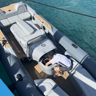
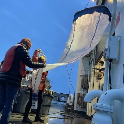
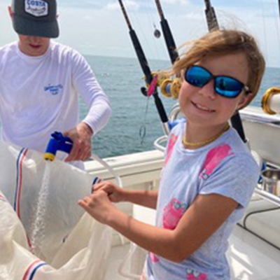
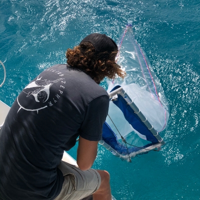
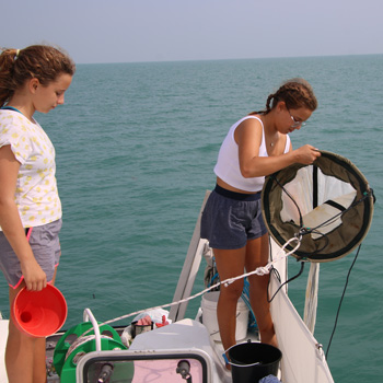
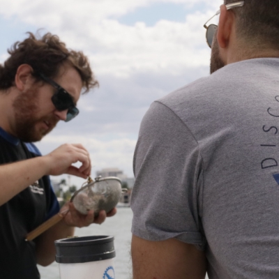
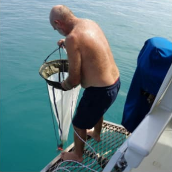
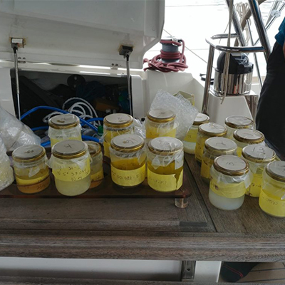
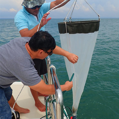
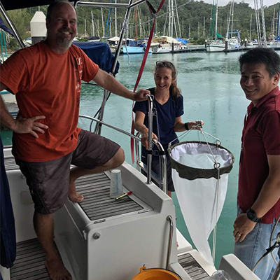
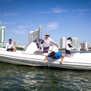
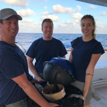
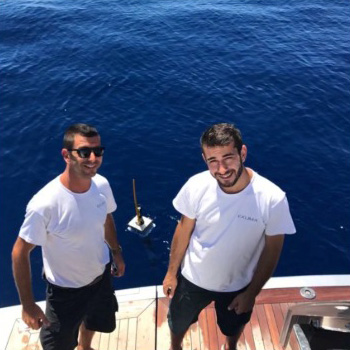
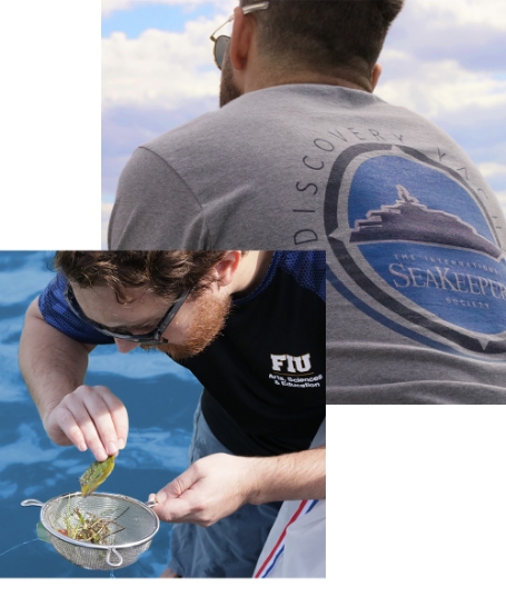
The Neuston Net Research Collective unites the academic world and the international yachting community in an effort to conserve and understand our oceans through scientific research. This unique collective spans a wide range of research topics with one common theme: they all utilize Neuston Nets. Neuston Nets are fine mesh nets often towed behind boats to collect samples of neustonic organisms, algae, plastics, plankton, seawater, and more. Our unique access to these nets allows us to pair proposed or ongoing projects with vessels around the world to collect samples from a wide geographic range.
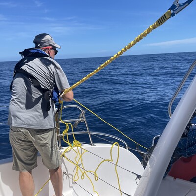
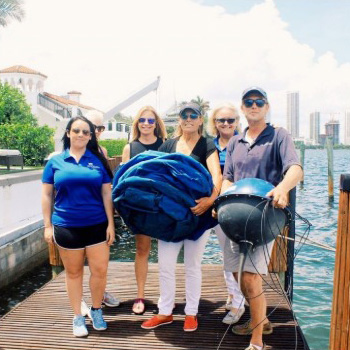
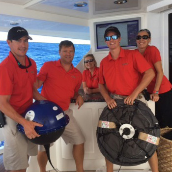
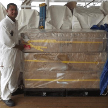
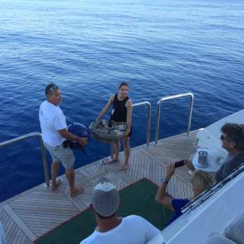
This program engages the yachting community by providing comprehensive onboard kits which allow yacht crews and owners to tow nets that are designed to collect plankton, seaweed, and small organisms at the ocean surface. Learn more about our current projects by browsing below.
Find out if you can participate in our Neuston Net Research Collective by clicking the button below and contacting our team at [email protected].
Seabed 2030 Project
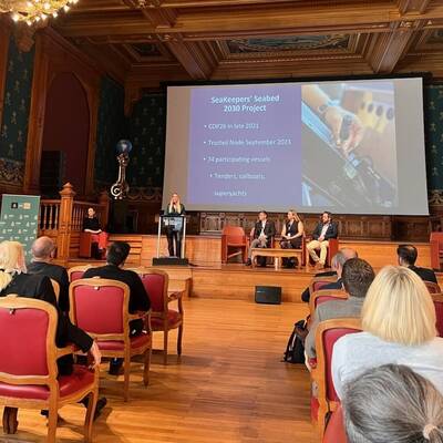
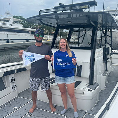
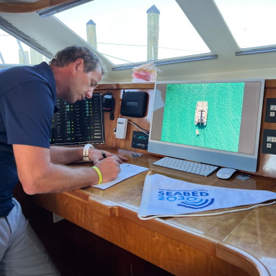
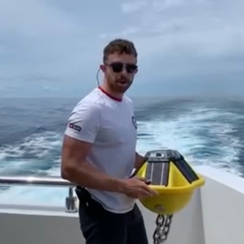
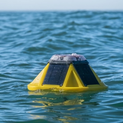
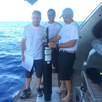
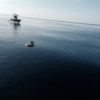
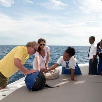
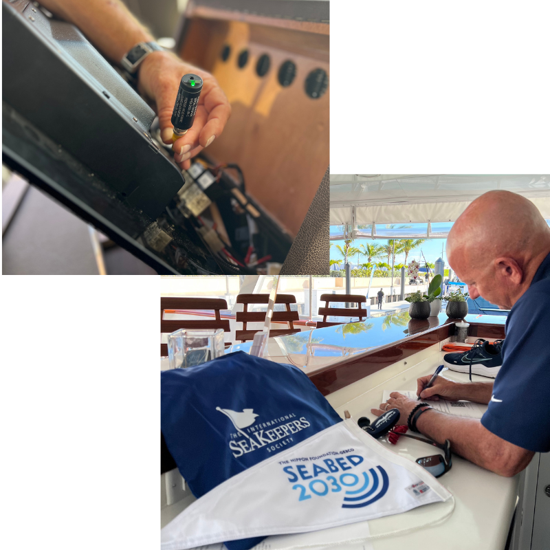
As part of the effort to map the world ocean by 2030, the Seabed 2030 project, along with the IHO Data Center for Digital Bathymetry (DCDB) at the National Centers for Environmental Information, Boulder, have collaborated to provide and manage small hardware data loggers that are used to collect bathymetric data from volunteer observers. The project was launched at the United Nations (UN) Ocean Conference in June 2017 and is aligned with the UN’s Sustainable Development Goal #14 to conserve and sustainably use the oceans, seas and marine resources.
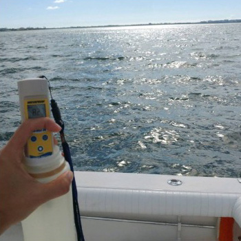
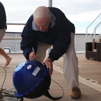
This information can help identify uncharted features such as seamounts and canyons, verify charted information and help fill the spaces on charts where no data exists. Routinely measured parameters such as under keel depth and position can then be stored, uploaded, and contributed to local and global mapping initiatives. Find out if you can participate in our Seabed 2030 Program by clicking the button below and contacting our team at [email protected].
National Oceanography Centre SubCTech Microplastic Sampling
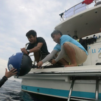
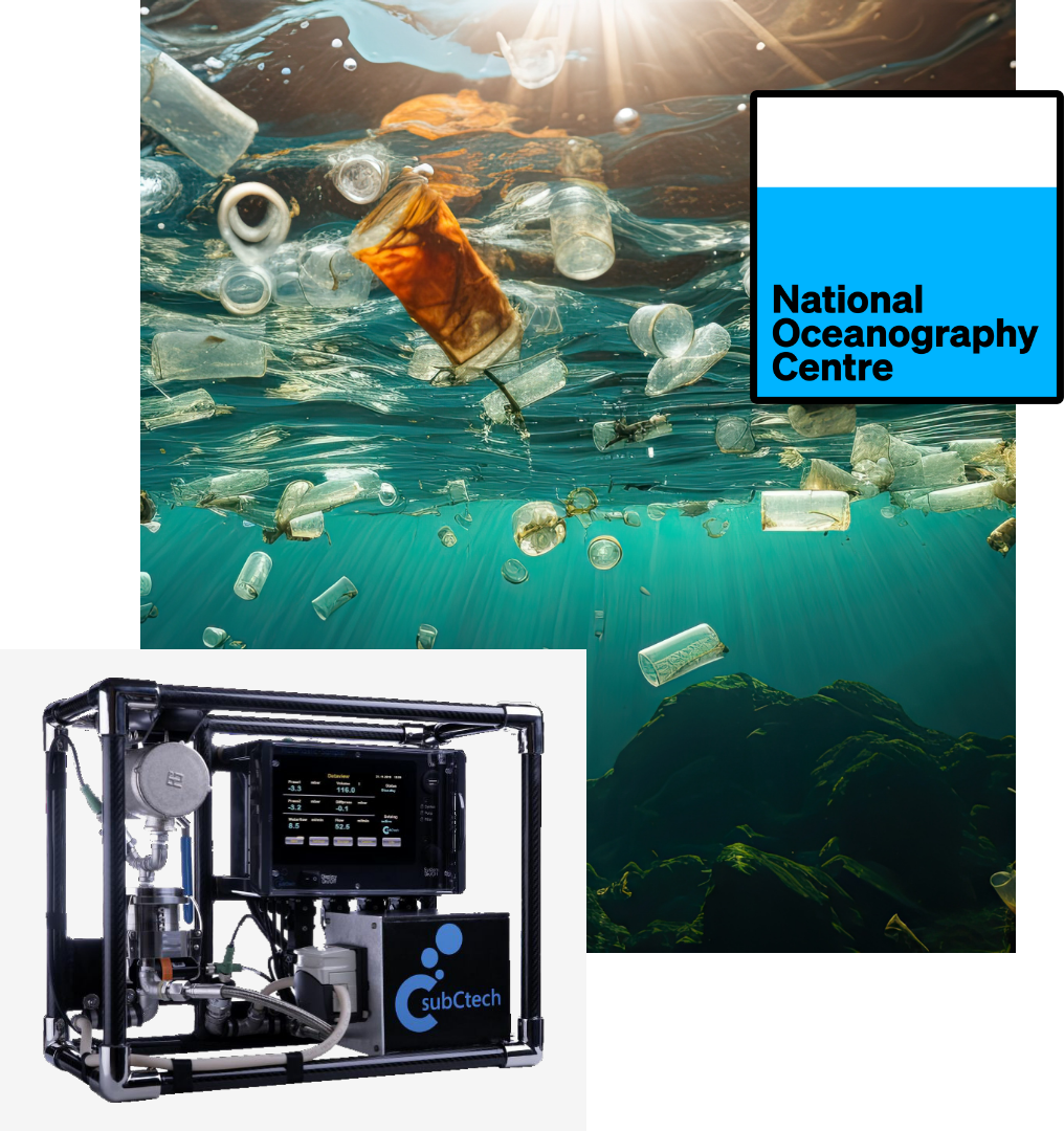
The microplastic research group at NOC are tackling some of the crucial questions pertaining to microplastics in the ocean, including their fate, distribution in the ocean, and their ecological effects. There is a critical need to understand the extent and characteristics of this contamination, down to the smallest sizes possible, because the smaller the particle, the higher the risk to ecosystems and humans. By installing a SubCtech microplastic sampler onboard that will automatically collect and filter samples, citizen scientists provide access to regions and data that would not otherwise be obtained.
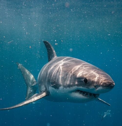
Tracking White Sharks with Environmental DNA
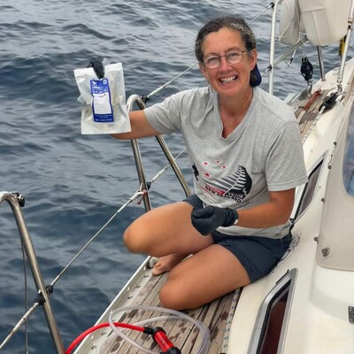
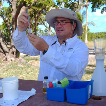
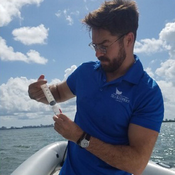
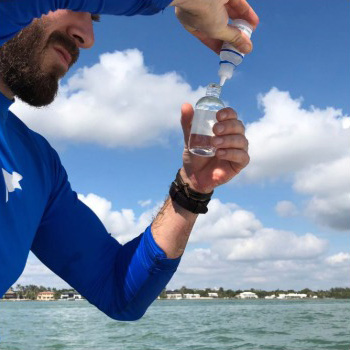
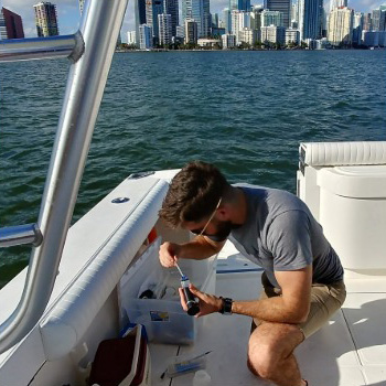
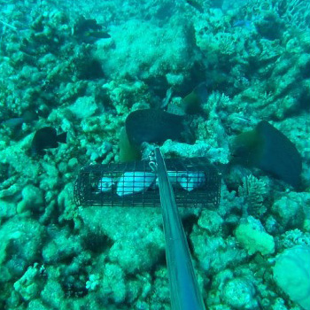
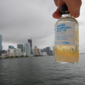
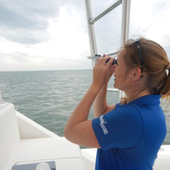
Great white sharks are an important species within marine ecosystems, serving as top predators and keeping the population of other organisms in balance. While large in size, these sharks can be rather elusive thanks to their ability to live entirely below the water’s surface, often time traveling to great depths. Researchers at Virginia Tech University believe that these sharks may exist in distinct populations which are rarely seen by humans, and are using cutting age technology to discovery more about where they are located. By joining this project, you, too, can put on your scientist gloves and try your hand at sampling DNA from the water column.
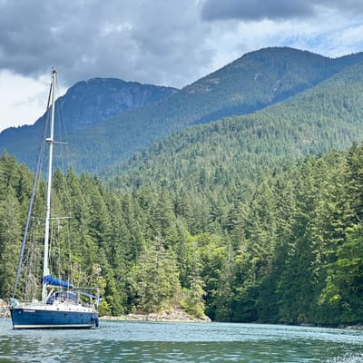
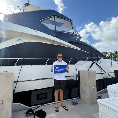
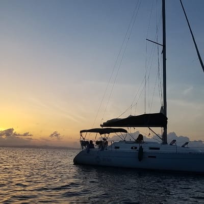
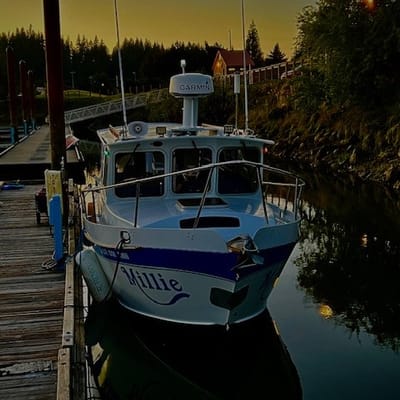
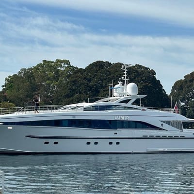
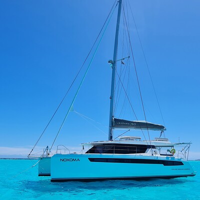
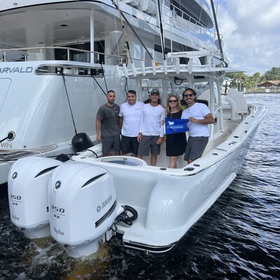
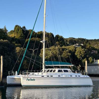
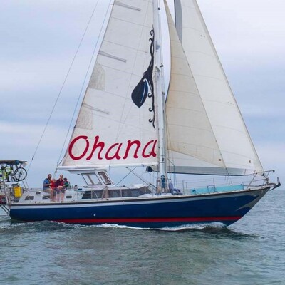
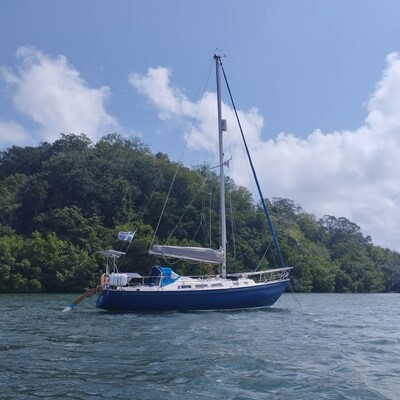
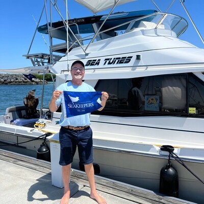
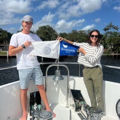
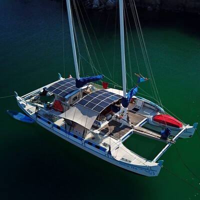
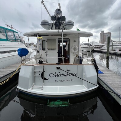
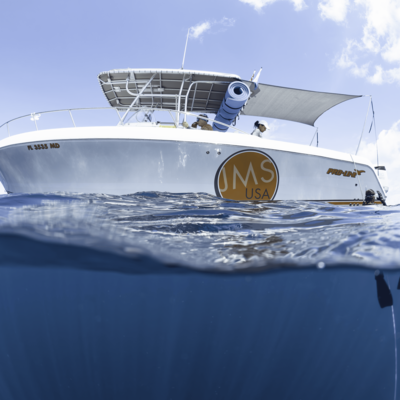
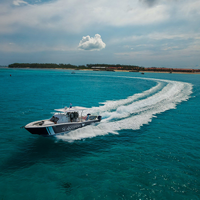
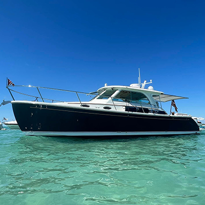
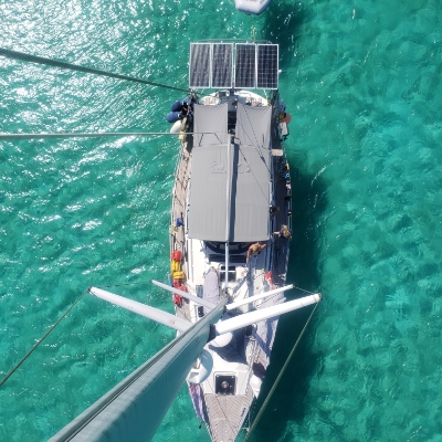
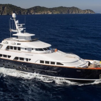
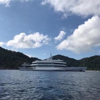
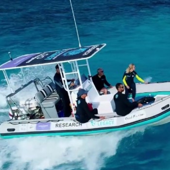
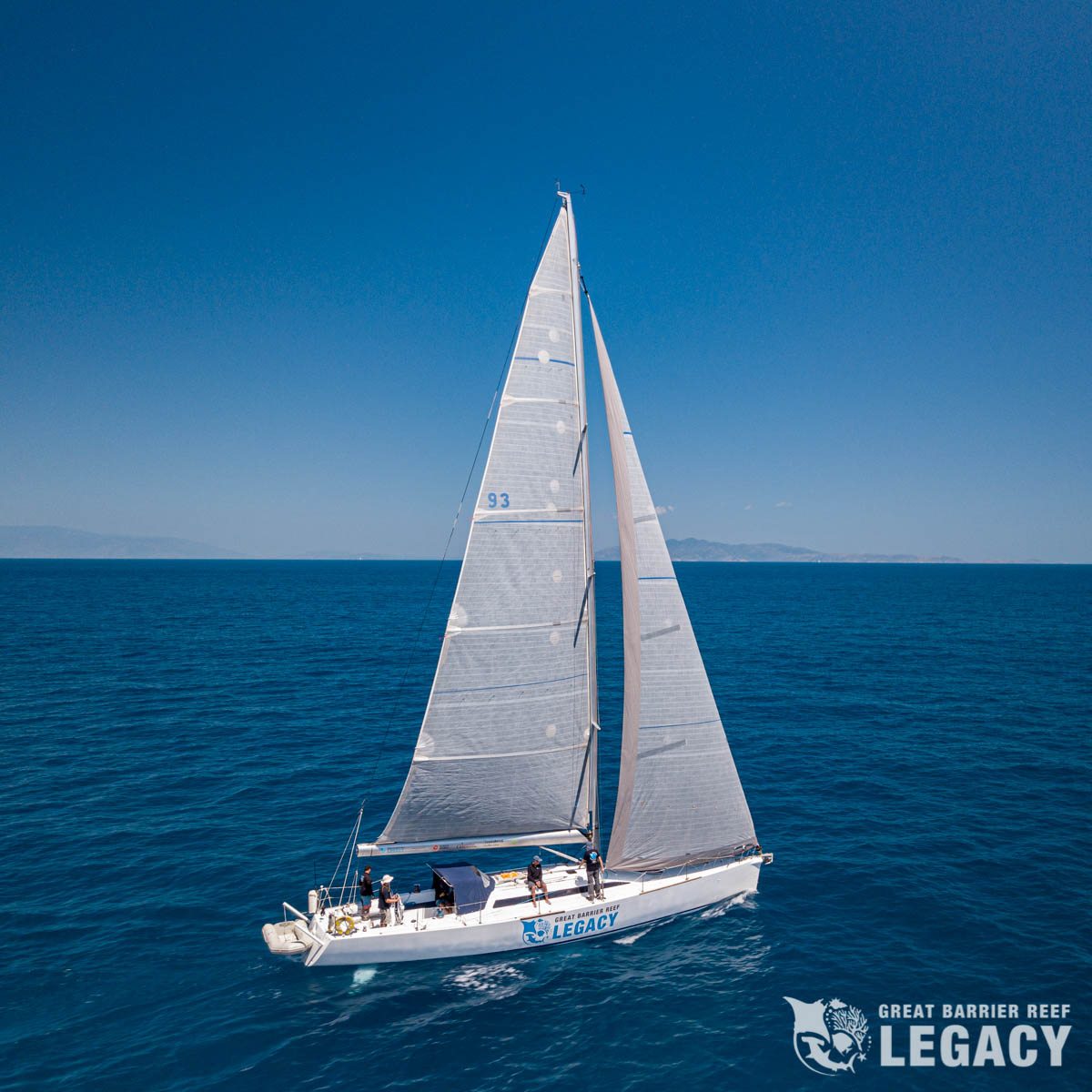
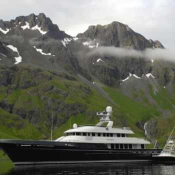
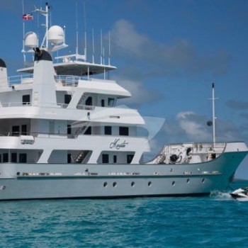
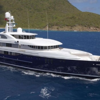
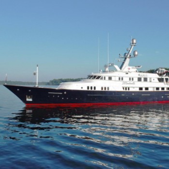
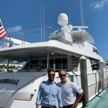
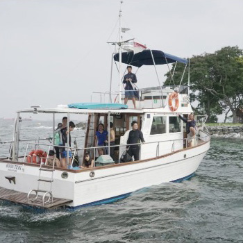
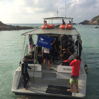
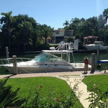
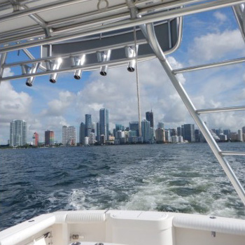
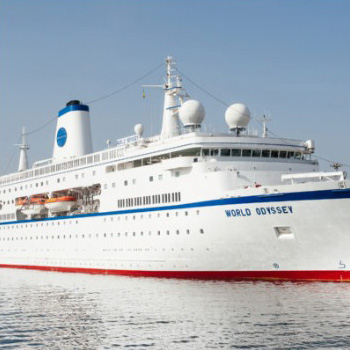
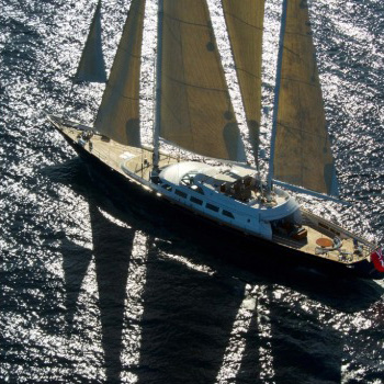
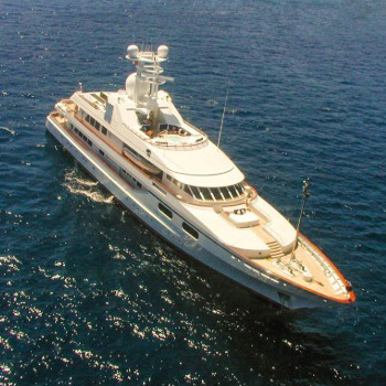
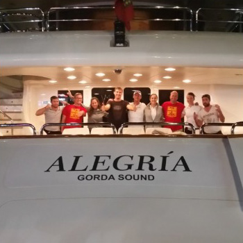
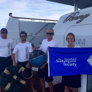
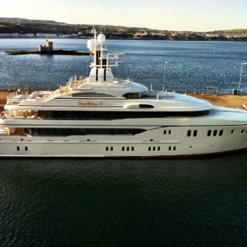
Active Citizen Science DISCOVERY Vessels
Ongoing Projects
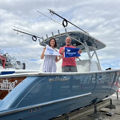
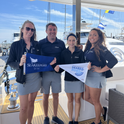
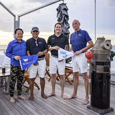
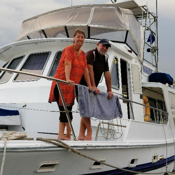
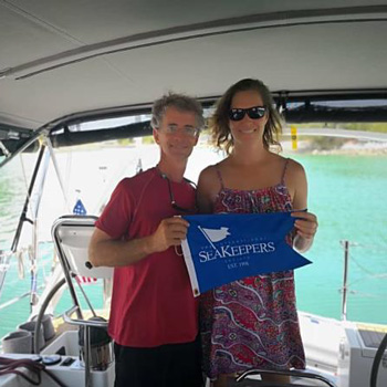
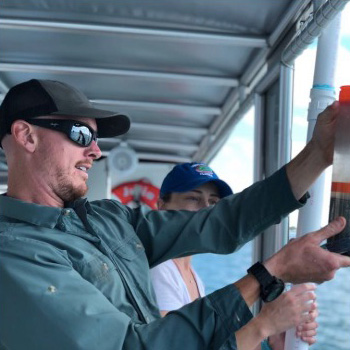
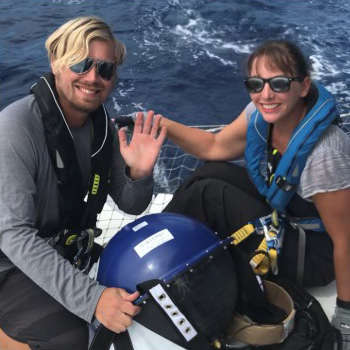
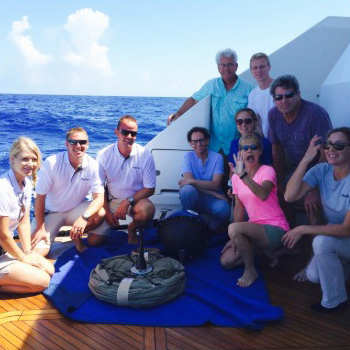
Explore our ongoing projects in the gallery below. Click each tile to learn about the project participant and the work they are achieving through the Neuston Net Research Collective or the Seabed 2030 Project.
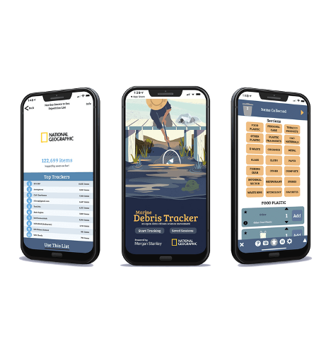
Marine Debris Tracker: An Open Data Citizen Scientist Movement
Marine Debris Tracker is designed to help citizen scientists make a difference by contributing data on plastic pollution in your community or at sea. Every day, dedicated educational, non-profit, and scientific organizations, and passionate citizen scientists from around the world record data on inland and marine debris with this easy-to-use app, contributing to an open data platform and scientific research.
Marine Debris Tracker was developed by the University of Georgia’s Jambeck Research Group, which SeaKeepers worked with in 2021 when the Jambeck Research Group collaborated with Ocean Conservancy to assess Miami’s plastic waste management, known as a Circularity Assessment Protocol. SeaKeepers is incorporating this app at our cleanups to continue our mission of coastal education, protection, and restoration.
Research Project Application
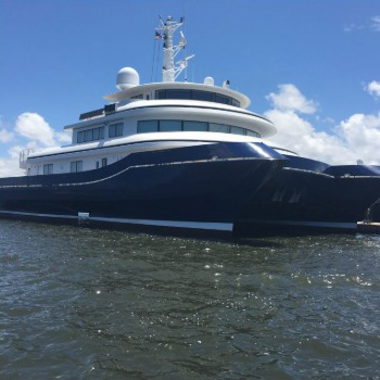
Are you looking to apply for a research project? The International SeaKeepers Society has been involved in assisting significant marine research and ocean conservation efforts through the DISCOVERY Yacht Program since 2014. We are seeking dedicated researchers to provide free vessel support to gather and conduct fieldwork. For each expedition, a scientist is paired with a vessel that can meet the research expedition’s needs, including location, itinerary, and vessel specifications as outlined in the research proposal. To submit a proposal on your next expedition needs, complete the application below.

