Southern Bahamas Marine Ecological Surveys
Project Overview:
The Perry Institute for Marine Science (PIMS) aims to lead a two-week expedition to conduct a comprehensive marine rapid ecological assessment (REA) around San Salvador, Conception Island, and Rum Cay in The Bahamas. These islands host vital habitats of coral reefs, seagrasses, and mangroves that support biodiversity, fisheries, and coastal protection. Despite their importance, research has been limited due to remoteness and lack of access. This expedition will fill critical data gaps and provide science-based recommendations for future management of these marine ecosystems.
Program Partners
- Perry Institute for Marine Science
- Bahamas National Trust
Location
- The Bahamas – San Salvador, Conception Island, and Rum Cay
Expected Time Frame
- August - September 2026
Duration of Expedition
- 12 Days
Accommodation Needed
- 8 Researchers + 1 SeaKeeper
Special Equipment Needed
- Licensed captain; swim platform (hydraulic or stationary) or easy access to water; tender or smaller vessel for site access, compressor for SCUBA diving, clear deck space (3–5 ft) for drone launches
Expedition parameters listed above are flexible and negotiable.
Background:
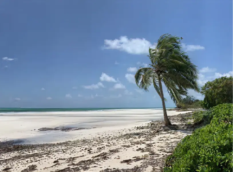
San Salvador, Conception Island, and Rum Cay are rich in marine biodiversity but remain understudied compared to other Bahamian islands. San Salvador features fringing coral reefs, mangrove nurseries, and steep drop-offs into deep waters. Conception Island, protected since 1964, surrounds an interior lagoon with extensive mangrove systems and coral reefs. Rum Cay remains the least studied but holds potential as a biodiversity hotspot. Understanding the ecological condition of these habitats is crucial for improving marine management and conservation.
Mission:
This expedition will assess the health of coral reefs, seagrass beds, and mangroves using standardized underwater surveys, photogrammetry, and aerial drone mapping. The goal is to provide up-to-date ecological data to guide science-based conservation planning and enhance protection of these critical ecosystems.
Applications:
Data collected will directly support marine management efforts in The Bahamas, offering recommendations to inform conservation actions, potential protected area expansions, and biodiversity monitoring frameworks. Surveys will follow established protocols under the Marine Biophysical Monitoring Plan for The Bahamas National Protected Area System, helping ensure scientific consistency and long-term impact.
Relevant/Previous Scientific Publication(s):
Program Partners:
Get Involved
If you’re interested in learning more about this specific program opportunity, please reach out to our team below to find out more about this program or get involved in other opportunities with SeaKeepers.
Explore More Opportunities
At-Sea Opportunities
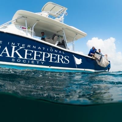
Citizen Science Opportunities
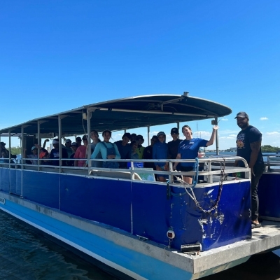
Education Opportunities
