
Exploration of the Baja Shark Migration Seamount Corridor
Project Overview:
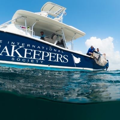
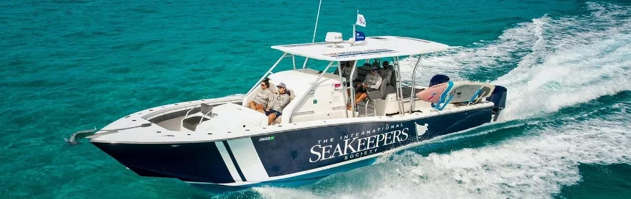
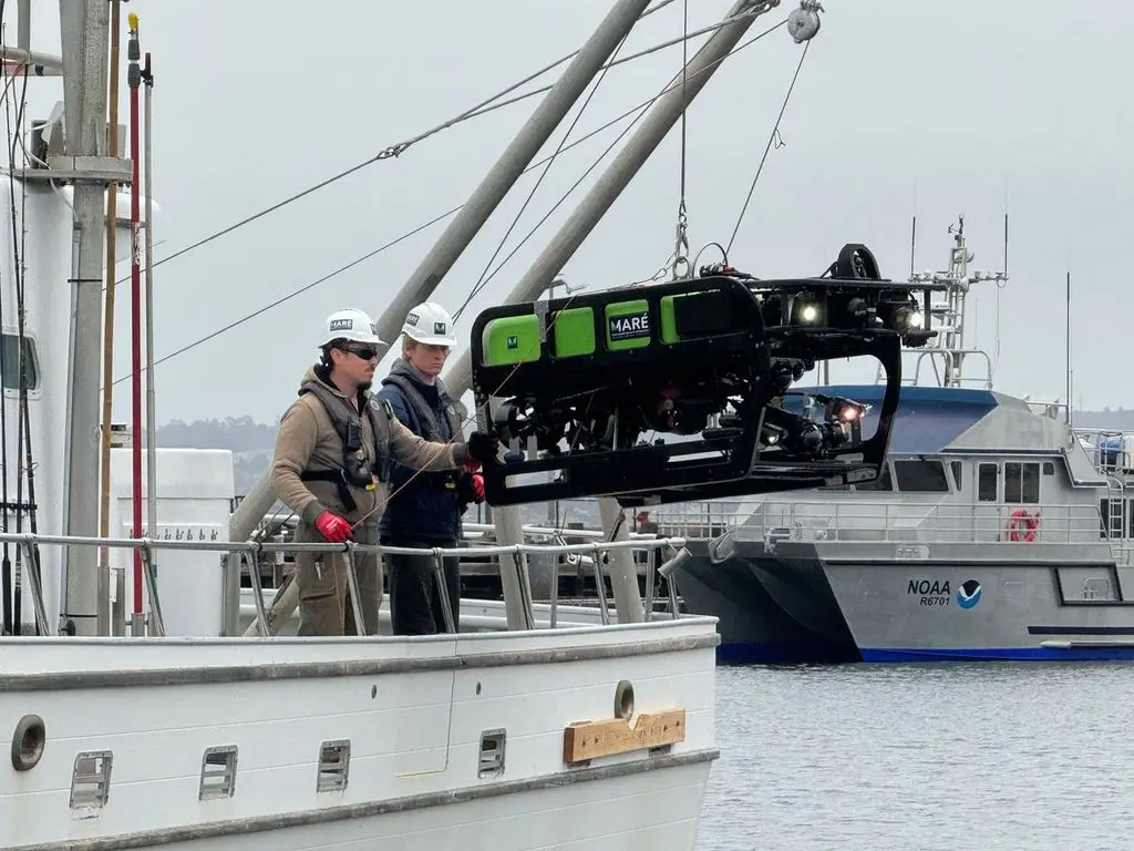
Marine Applied Research and Exploration (MARร) is seeking vessel support to deploy its Beagle remotely operated vehicle (ROV) and explore previously undocumented seamounts within the marine corridor extending from Loreto to Cabo Pulmo in the Gulf of California.
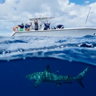
Researchers will use underwater video surveys to document seafloor habitats, assess species abundance, and gather baseline ecological data from areas that have never been directly observed. The expedition will also support shark research by recovering a lost acoustic tracking system expected to contain up to two years of detection data from tagged sharks moving through the region.
Together, these findings will improve understanding of the corridorโs seamount ecosystems and shark migration pathways while supporting marine protection, sustainable fisheries management, and long-term monitoring.
Program Partners
- Marine Applied Research and Exploration (MARร)
- Pelagios Kakunjรก
- Marine Conservation Institute
Location
- The Gulf of California near La Paz, Baja California Sur, Mexico, with research focused on seamounts within the Marine Corridor from Loreto to Cabo Pulmo. The expedition may optionally be incorporated into a vesselโs transit to or from Southern California.
Expected Time Frame
- October or early November 2027, 2028 & 2029. Exact dates will be coordinated according to vessel availability and research conditions.
Duration of Expedition
- 1โ3 weeks
Accommodation Needed
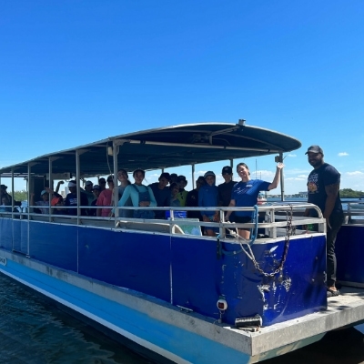
- 4โ6 Researchers + 1 SeaKeeper Representative
Special Equipment Needed
- Twin-engine propulsion, or a single engine supported by an ocean-rated bow thruster
- A 50-amp, 240-volt, single-phase AC electrical supply to power the ROV * Clean 110โ120-volt AC power for the topside control and monitoring equipment
- A winch capable of hoisting up to 700 pounds, equipped with approximately 300 meters of cable
- A crane, boom, davit, or A-frame capable of lifting the ROV and its clump weight from the deck and safely deploying them over the side
- Sufficient deck space for the ROV, winch, topside equipment, launch-and-recovery operations, and science team
If the vesselโs electrical system does not meet the projectโs power requirements, the research team may be able to source and bring an appropriate generator aboard. Captains and vessel operators can review the Beagle ROVโs specifications and capabilities when evaluating vessel suitability.
Expedition parameters listed above are flexible and negotiable.
Background:
Seamounts are submerged mountains that rise from the ocean floor. Their steep slopes and complex terrain create upwelling zones that support plankton, fish, marine mammals, sharks, and other migratory species. These underwater features can serve as important feeding areas, spawning grounds, migratory waypoints, and habitats for distinctive seafloor communities.
Despite their ecological importance, many seamounts in the Gulf of California have never been visually surveyed or comprehensively documented. This lack of baseline information makes it difficult to measure ecological conditions, identify critical habitats, and evaluate the effects of fishing pressure and future conservation measures.
This project will focus on at least one previously undocumented seamount within the Marine Corridor from Loreto to Cabo Pulmo, a region historically known for its abundance of sharks and other pelagic species. The area has also been affected by overfishing, illegal, unreported, and unregulated fishing, and habitat degradation.
MARร specializes in using underwater robotics and other marine technologies to collect high-resolution information from seafloor environments. Working with Pelagios Kakunjรก, Marine Conservation Institute, and regional stakeholders, the research team will combine deep-sea visual surveys, shark-tracking data, and local expertise to build a more complete understanding of this important marine corridor.
Mission:
The mission of this project is to document previously unexplored seamount habitats and improve understanding of shark migration pathways within the Gulf of California.
The primary objectives include:
- Deploying the Beagle ROV to conduct visual surveys of previously undocumented seamount habitats
- Collecting underwater video and imagery of seafloor ecosystems
- Documenting marine species presence, abundance, and habitat associations
- Establishing baseline ecological data that can support repeat surveys and long-term monitoring
- Recovering a lost acoustic shark-tracking system expected to contain up to two years of detections from tagged sharks
- Improving understanding of hammerhead shark movements and other pelagic species using the LoretoโCabo Pulmo corridor
- Identifying habitats and migration pathways that may benefit from additional protection
- Sharing findings with conservation partners, resource managers, fishing communities, and interested students
- Supporting science-based marine protection and more sustainable fisheries management
Applications:
The ROV surveys will provide the first direct visual records of selected seamount habitats within the study area. Video observations and species-abundance data will establish a baseline against which ecological changes and the effectiveness of future conservation measures can be evaluated.
Recovery of the acoustic tracking system may provide up to two years of movement data from tagged sharks. These records could offer valuable insight into how hammerhead sharks and other species travel through the corridor, use its seamounts, and connect different habitats in the Gulf of California.
The findings will be shared with project partners and marine resource managers to support the planning and management of protected areas, including conservation initiatives associated with the LoretoโCabo Pulmo corridor. Results may also inform sustainable fishing zones and practices developed in cooperation with coastal fishing communities.
By documenting both the seafloor ecosystem and the movements of migratory sharks, the expedition will provide complementary information needed to understand and protect the corridor as a connected marine system. Repeat expeditions in 2027, 2028, and 2029 would allow the research team to expand its geographic coverage and begin measuring changes over time.
Get Involved
If youโre interested in learning more about this specific program opportunity, please reach out to our team below to find out more about this program or get involved in other opportunities with SeaKeepers.
Explore More Opportunities
At-Sea Opportunities
Citizen Science Opportunities
Education Opportunities