Oceanic Manta Ray Surveys in Fiji with Mike Golding OBE

default

Project Overview

Manta rays play a vital role in maintaining healthy ocean ecosystems. However, there’s still much we don’t know about them. More information is need on their migration patterns, behaviors, and how changes in the environment affect them. This expedition aimed to survey areas where mantas have been spotted, contributing valuable data to ongoing research efforts.

Application

Drone surveys are essential tools in research. They allow us to monitor large areas without disturbing the environment, capturing clear aerial footage that helps spot and track individual mantas. With drones, we can gather data on manta ray behavior, population size, and habitat use in remote or challenging locations. This technology helps to enhance our understanding and conservation efforts for these amazing marine creatures.

Expedition Summary

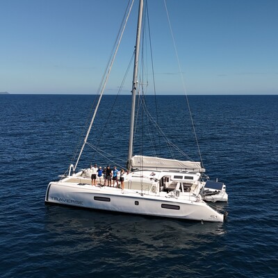
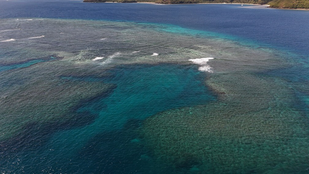
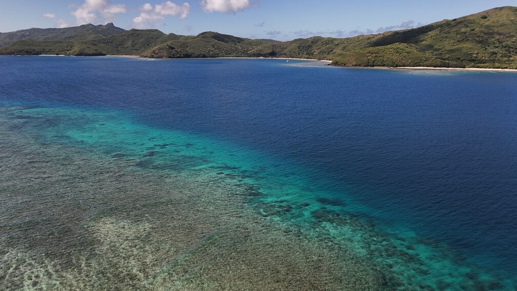
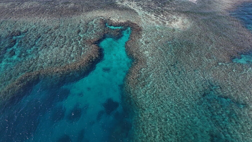
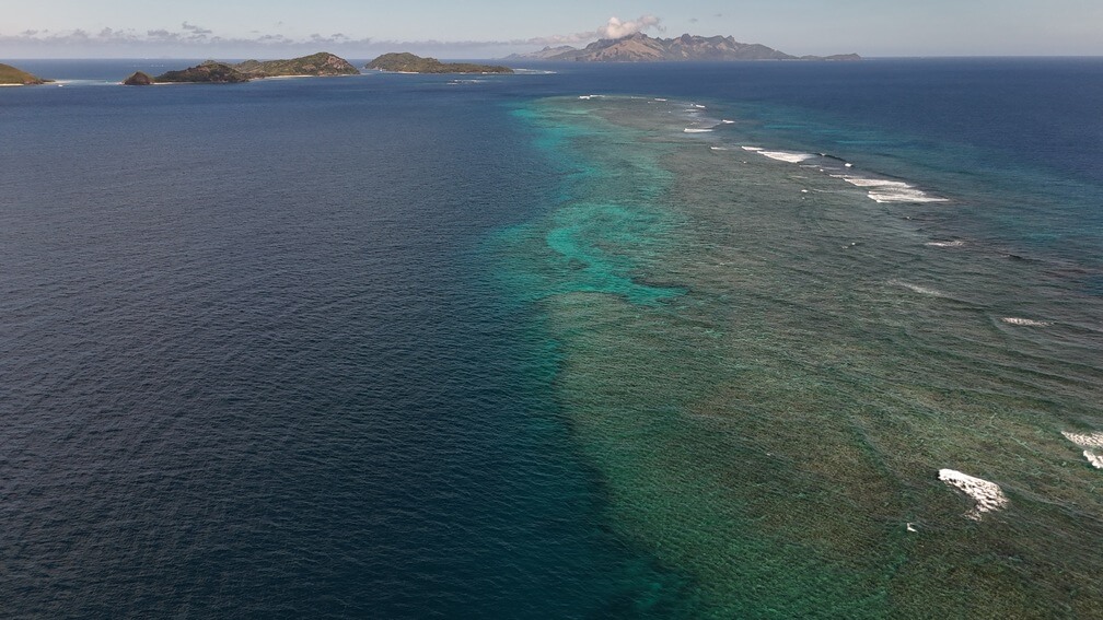
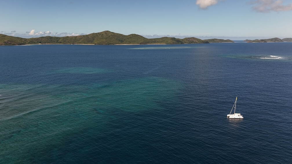
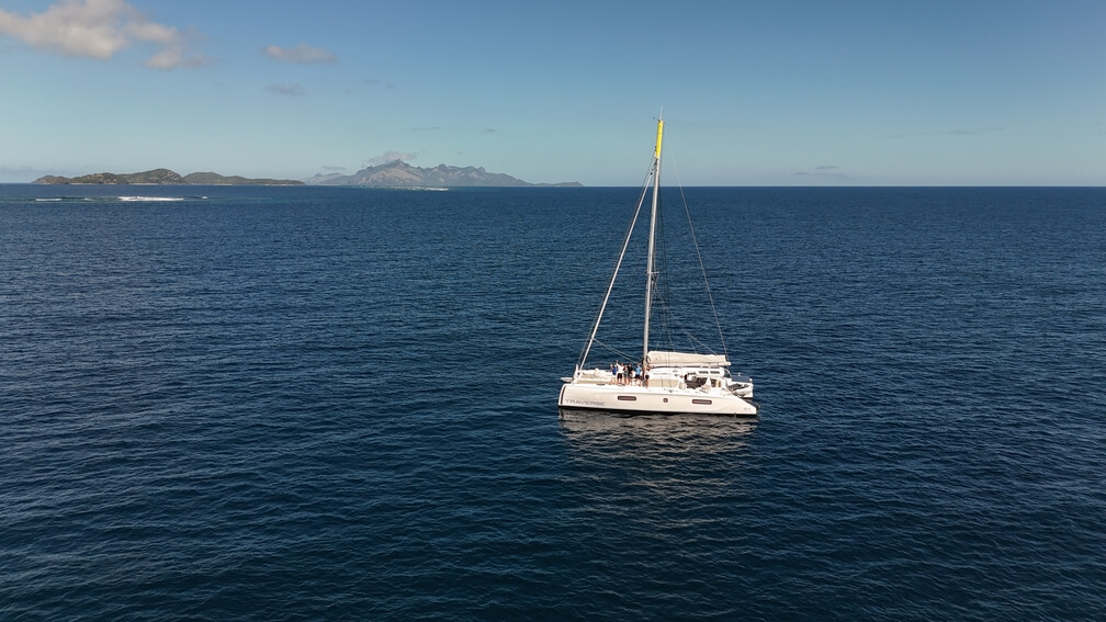
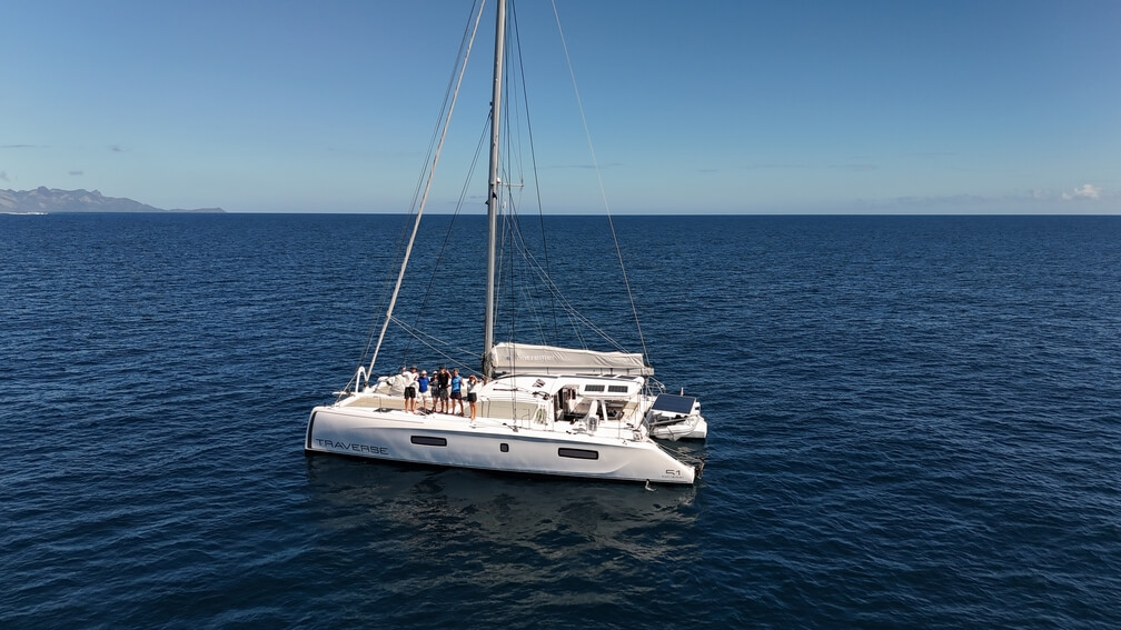
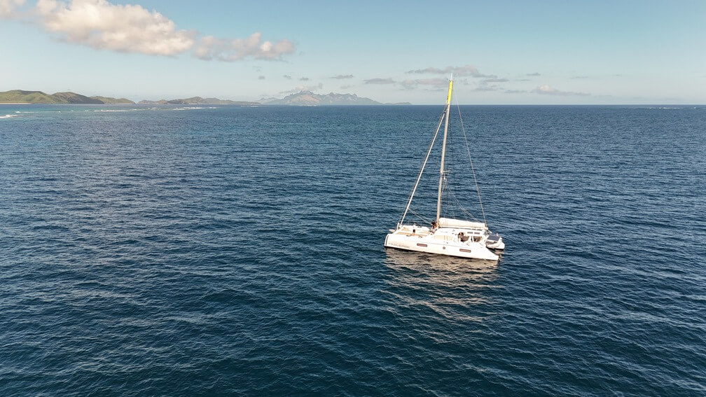
On May 21, 2024, The International SeaKeepers Society South Pacific, in collaboration with Mike Golding OBE aboard the Traverse, assisted in a drone survey to search for manta rays. This survey focused on three specific sites along the reef systems west of Naviti Island in the Yasawas, selected based on previous satellite tagging data indicating manta ray presence. Three 40-minute drone flights were conducted and although no mantas were observed during these flights, the absence of sightings still provides valuable data. The information gathered contributes to ongoing research on manta ray distribution and habitat use in the region.

Location

Naviti island in the Yasawas, Fiji

Duration of Project

Ongoing

Research Team

  • Rob Macfarlane

Photo Gallery