
- DISCOVERY Yacht Dione Sun
Rapid Ecological Assessments of Rum Cay and Conception Island
- August 23 - 29, 2026
- Rum Cay and Conception Island, The Bahamas
Project Overview
The Perry Institute for Marine Science (PIMS), in partnership with the Bahamas National Trust (BNT), is working to assess the condition of marine habitats surrounding Rum Cay and Conception Island National Park. These remote islands have been identified as priority areas for marine research and conservation but have limited local infrastructure to support extended scientific fieldwork.
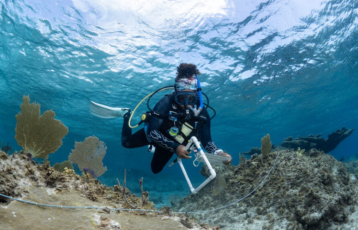
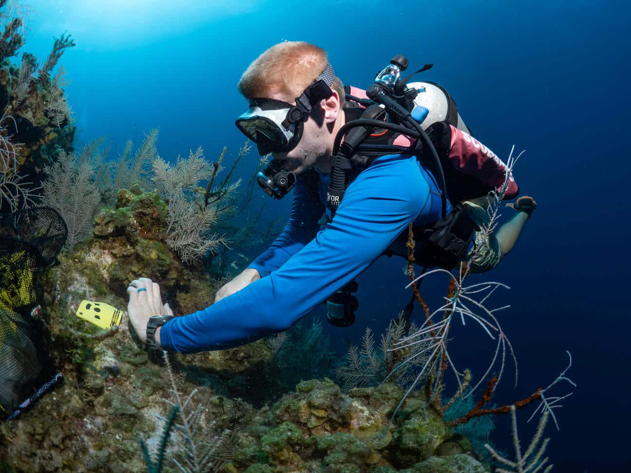
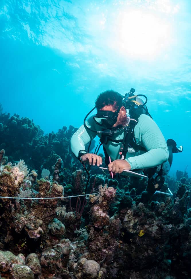
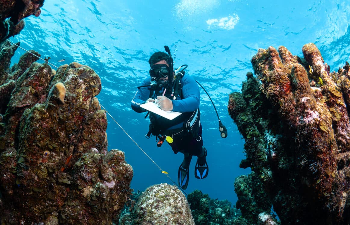
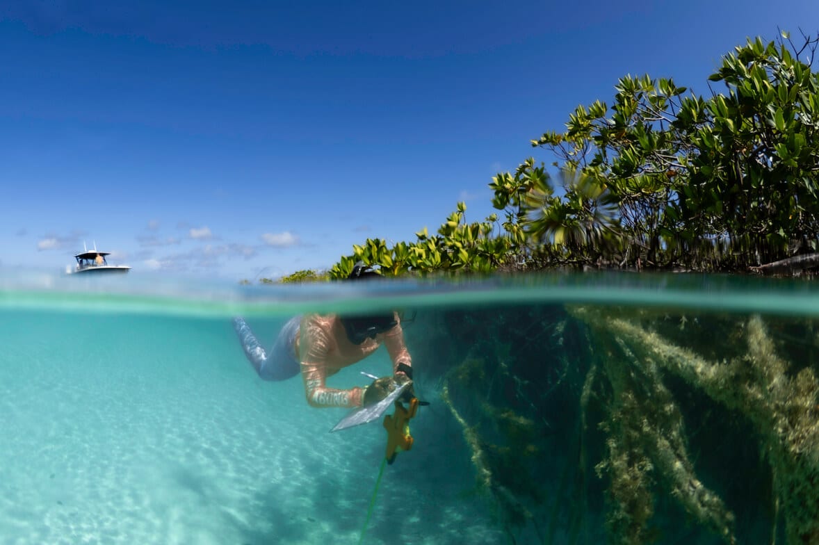
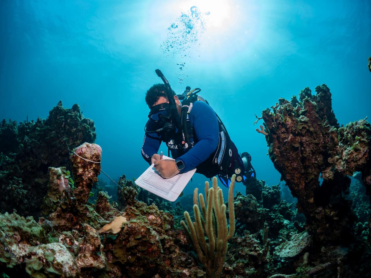
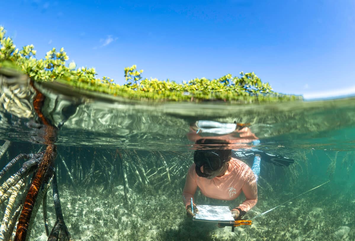
This project encompasses Rapid Ecological Assessments of coral reefs, seagrass beds, and mangrove ecosystems using standardized underwater visual surveys, photogrammetry, drone mapping, and other aerial and in-water assessment methods. Researchers document coral health, reef fish communities, benthic composition, queen conch, and the overall condition of these connected marine habitats.
The project represents the first comprehensive ecological assessment of Rum Cay by the research team and provides an opportunity to revisit areas of Conception Island that were previously surveyed in 2017.
Application
Data collected through these assessments will help researchers evaluate the current condition of marine habitats surrounding Rum Cay and Conception Island and identify changes that may occur over time.
At Rum Cay, the findings will provide important baseline information for an area where established long-term monitoring sites were previously unavailable. At Conception Island National Park, the data can be compared with earlier surveys to better understand how habitats within the protected area have changed since 2017.
The results may be used to inform continued monitoring, coral and habitat restoration, fisheries management, and other science-based conservation strategies. Mapping these habitats will also allow researchers to document their spatial extent, identify areas of ecological importance, and prioritize locations for future research and conservation action.
Expedition Summary
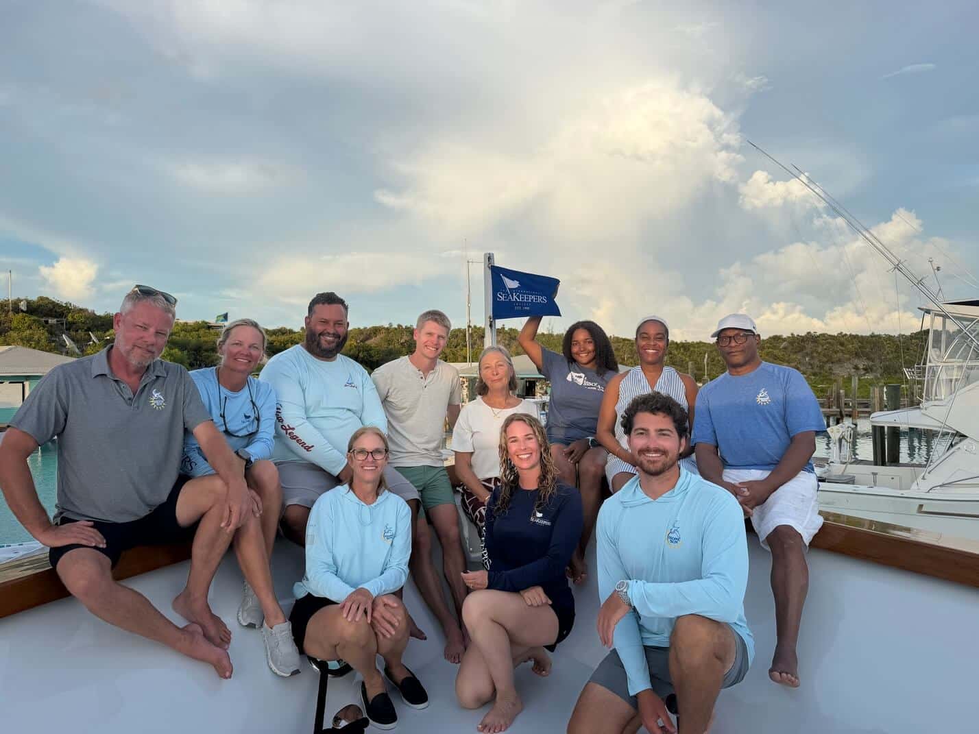
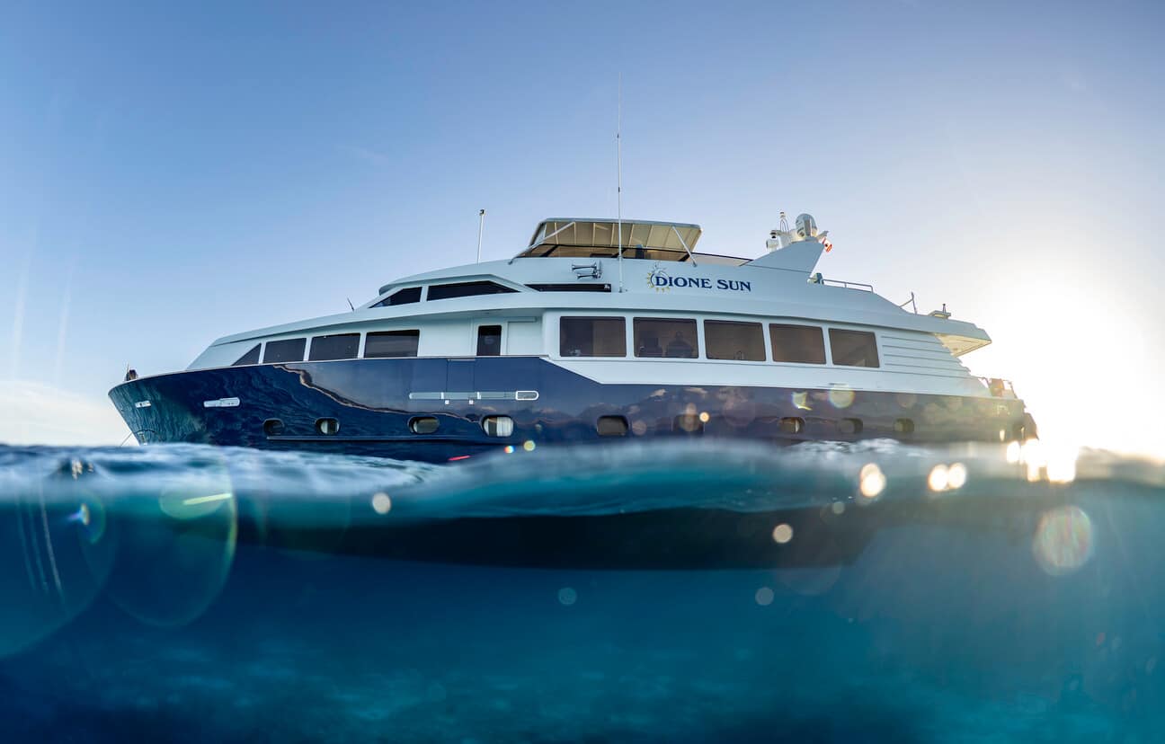
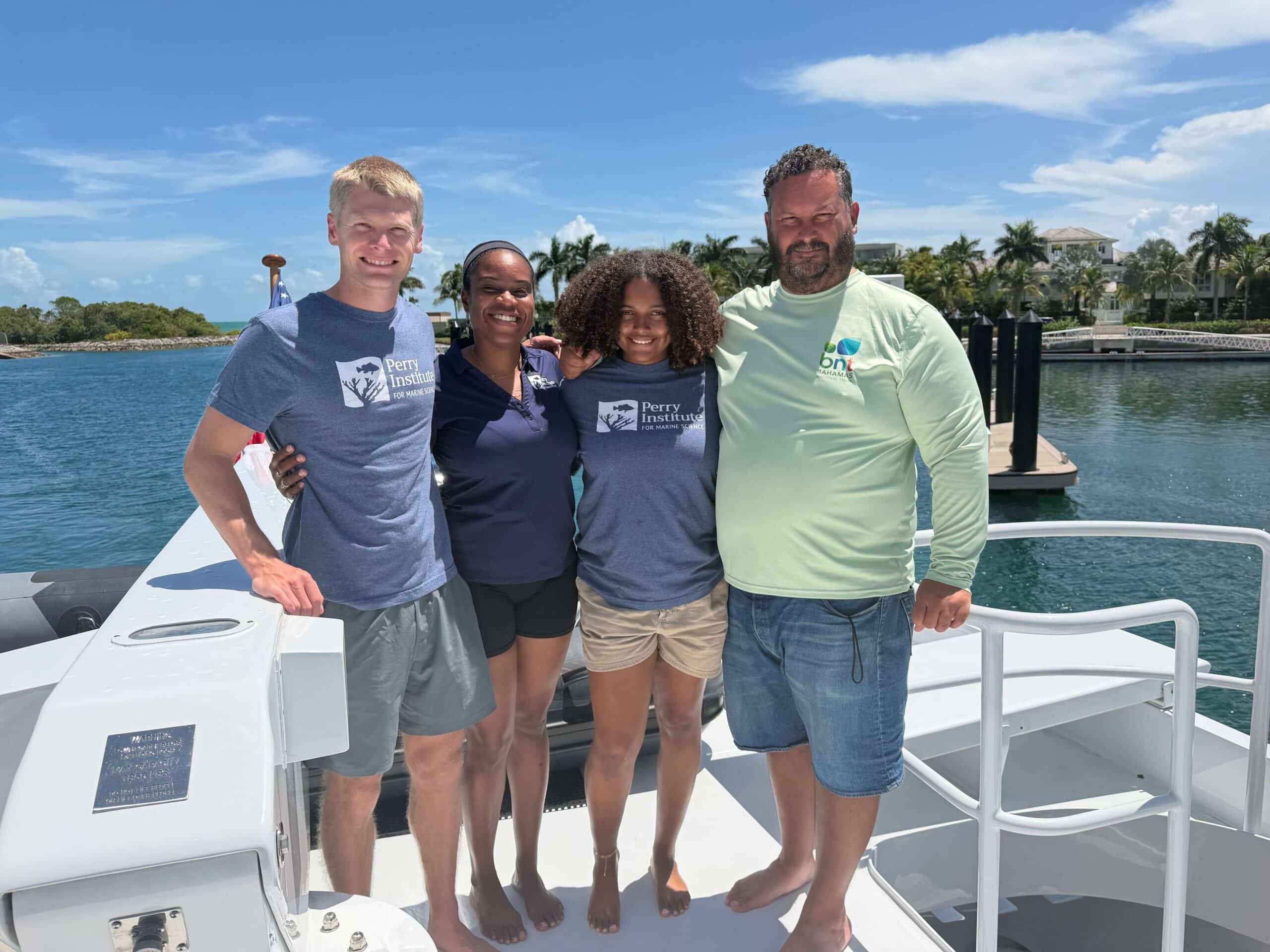
From August 23-29, 2026, The International SeaKeepers Society assisted researchers from the Perry Institute for Marine Science and the Bahamas National Trust aboard DISCOVERY Yacht Dione Sun for a seven-day expedition to Rum Cay and Conception Island National Park.
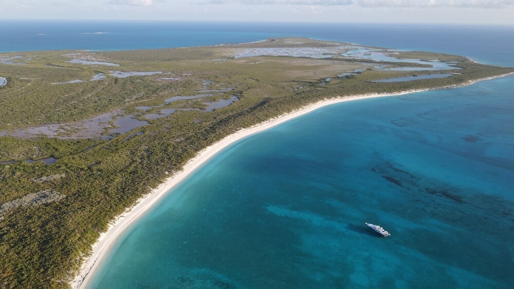
During the expedition, the team surveyed 31 sites, eight around Rum Cay and 23 within Conception Island National Park, and mapped more than 700 acres of reef between the two islands. Researchers used underwater visual surveys, drone mapping, and photogrammetry to document coral reefs, reef fish communities, benthic composition, queen conch, seagrass beds, and mangrove habitats.
At Rum Cay, aerial reconnaissance helped researchers identify suitable survey areas and establish a monitoring site, while work at Conception Island National Park revisited areas first surveyed in 2017 and established one new monitoring site.
SeaKeepers extends its sincere thanks to the owners and crew of Dione Sun for providing the vessel access and operational support that made this expedition possible.
Location
Rum Cay and Conception Island National Park, The Bahamas
Duration of Project
This was the first expedition to conduct these ecological surveys around Rum Cay and the second at Conception Island National Park, following the initial assessment conducted in 2017. The data collected will serve as a baseline for ongoing monitoring, which is anticipated to take place every three years.
Leadership
Research Team
Krista Sherman, PhD – Perry Institute for Marine Science
Taylor Walters – Perry Institute for Marine Science
Will Greene – Perry Institute for Marine Science
Lindy Knowles – Bahamas National Trust
Aubri Keith – SeaKeepers’ Director of Expeditions & Photographer
Partner Sites

Photo Gallery