
- SeaKeepers' Vessel DISCOVERY II
Robotic Mapping of ORAI’s Artificial Reef Sites
- September 19, 2026
- Hollywood, Florida
Project Overview
Ocean Rescue Alliance International (ORAI) develops purpose-built artificial reefs designed to create marine habitat, enhance biodiversity, support coastal resilience, and provide new opportunities for scientific research. Monitoring these structures over time helps researchers evaluate how marine life colonizes the reefs, document changes in their physical structure, and better understand their potential role in coastal protection.
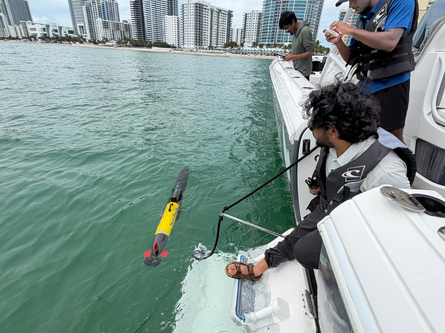
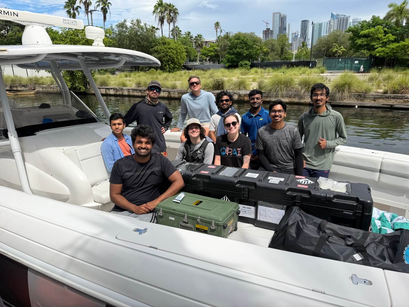
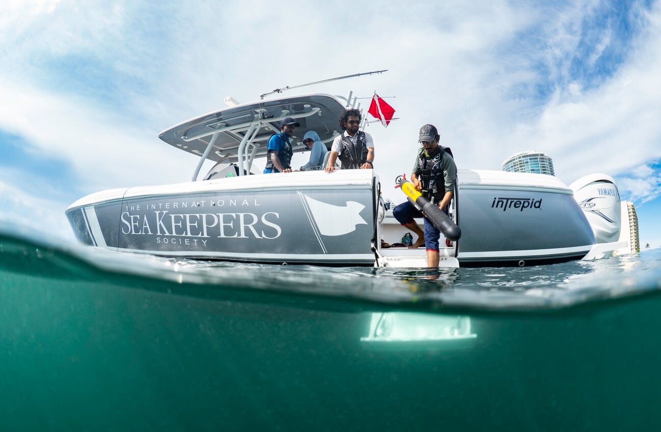
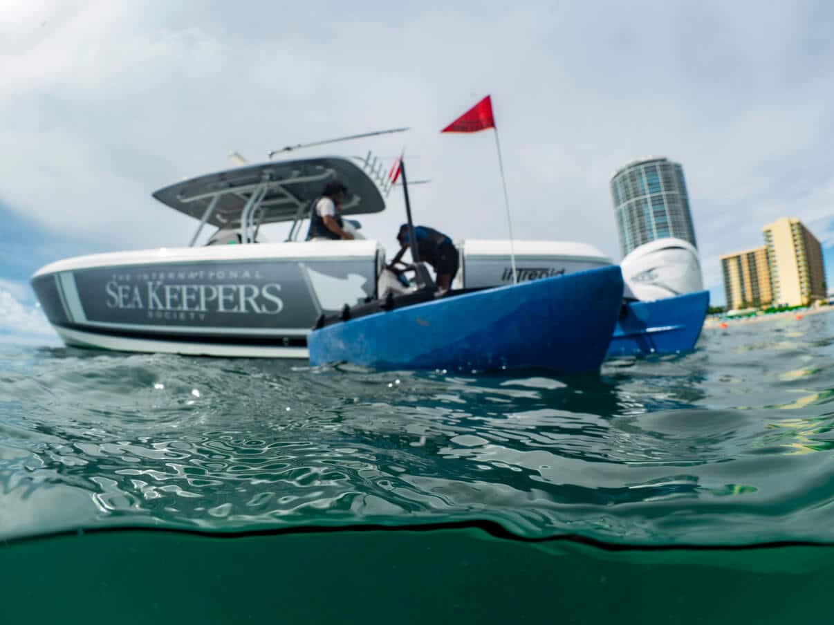
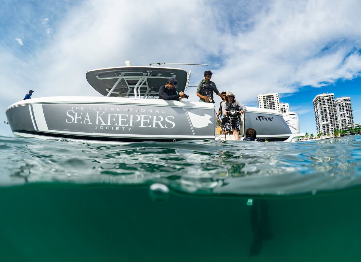
Researchers from the University of Florida’s Robot Perception and Intelligence Laboratory, or RoboPI, are exploring how autonomous and diver-operated technologies can improve the mapping and long-term monitoring of artificial reefs. By collecting information with multiple camera and sonar systems, the researchers can compare data gathered from above and below the surface and develop more complete representations of complex underwater environments.
Application
The data collected during this expedition will be used to compare and align information from multiple sonar and imaging systems, helping researchers improve how robotic platforms perceive, map, and navigate complex underwater environments. The work also supports the technological and methodological foundation for ORAI’s Mapping the Future of Reefs: Technology for Marine Restoration and Coastal Resilience, which expands its existing ecological monitoring through underwater robotics, high-resolution 3D mapping, photogrammetry, environmental sensing, and hydrodynamic measurements.
For ORAI, the imagery, sonar, and photogrammetry will contribute to a long-term monitoring framework for its artificial reef sites. Three-dimensional models created through photogrammetry will provide measurable records of reef structure, habitat complexity, and biological development that can be compared over time and integrated with ecological monitoring such as fish surveys, benthic imagery, and observations of biological colonization. This will help researchers better understand how reef design and structural characteristics influence habitat use and inform the design, placement, and monitoring of future artificial reefs.
Combined with future environmental and hydrodynamic measurements, these datasets will also help researchers investigate how reef structure and configuration influence water movement, sediment processes, and wave interaction, building an evidence-based understanding of their potential contribution to coastal resilience. Selected 3D models may also support educational and public outreach, allowing audiences to digitally explore ORAI’s reef sites without needing to scuba dive.
Expedition Summary
Location
ORAI Artificial Reef Sites #3 and #4, offshore of Hollywood Beach, Florida
Duration of Project
This is an ongoing research and monitoring project. ORAI Artificial Reef Sites #3 and #4 have been regularly monitored since their deployment in May 2025, but this expedition marked the first time the sites were surveyed using these autonomous and diver-operated systems.
Leadership
Research Team
Ricardo Nascimento
Lindsay Humbles
Vaishnav Ramesh
Luke McDevitt
Harsha Gundala Sureshbabu
Adnan Abdullah
Shekh. Md. Saifur Rahman
Abrar Faiaz Eram
Photo Gallery