Skip to content
About SeaKeepers
Mission
Who We Are
Team
DISCOVERY Fleet
Strategic Partners
Legacy Members
Contact
Impact
Highlights
Publications
Testimonials
Global Presence
SeaKeepers USA
SeaKeepers Asia
SeaKeepers United Kingdom
SeaKeepers South Pacific
Awards & Recognition
What We Do
DISCOVERY Program
Scientist-Led Expeditions
Citizen Science
Educational Outreach
Community Engagement
Marina Partner Program
Green Marine Program
Get Involved
Program Opportunities
At-Sea Research Opportunities
Citizen Science Opportunities
Educational Outreach Opportunities
Community Engagement Opportunities
DISCOVERY Vessel Portal
Become a SeaKeeper
DISCOVERY Program Application
Research Project Application
Educational Request Form
Lesson Plans
Cleanups
Events
Support SeaKeepers
Vessel Donations
Vessel Donation Program
Donate a Vessel
Vessel Inventory
Program Donation
Join the DISCOVERY Fleet
Media
News
Current Coverage
Press Releases
Newsletters
Press Kit
SeaKeepers Blogs
SeaKeepers Podcast
X
About SeaKeepers
Mission
Who We Are
Team
DISCOVERY Fleet
Strategic Partners
Legacy Members
Contact
Impact
Highlights
Publications
Testimonials
Global Presence
SeaKeepers USA
SeaKeepers Asia
SeaKeepers United Kingdom
SeaKeepers South Pacific
Awards & Recognition
What We Do
DISCOVERY Program
Scientist-Led Expeditions
Citizen Science
Educational Outreach
Community Engagement
Marina Partner Program
Green Marine Program
Get Involved
Program Opportunities
At-Sea Research Opportunities
Citizen Science Opportunities
Educational Outreach Opportunities
Community Engagement Opportunities
DISCOVERY Vessel Portal
Become a SeaKeeper
DISCOVERY Program Application
Research Project Application
Educational Request Form
Lesson Plans
Cleanups
Events
Support SeaKeepers
Vessel Donations
Vessel Donation Program
Donate a Vessel
Vessel Inventory
Program Donation
Join the DISCOVERY Fleet
Media
News
Current Coverage
Press Releases
Newsletters
Press Kit
SeaKeepers Blogs
SeaKeepers Podcast
DONATIONS
Vessel donations
Cash donations
Donation
Vessel donations
Cash donations
X
SeaKeepers DISCOVERY Program
Citizen Science Programs Archive
Citizen Science Engagement – April 2026
April 2026
Vessels and locations listed below by program activity.
NA
Read More
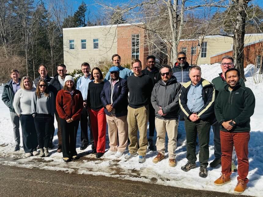
Crowd Sourced Bathymetry Working Group Meeting and Workshop
NA
Durham, New Hampshire
NA
Read More
Citizen Science Engagement – February 2026
February 2026
Vessels and locations listed below by program activity
NA
Read More
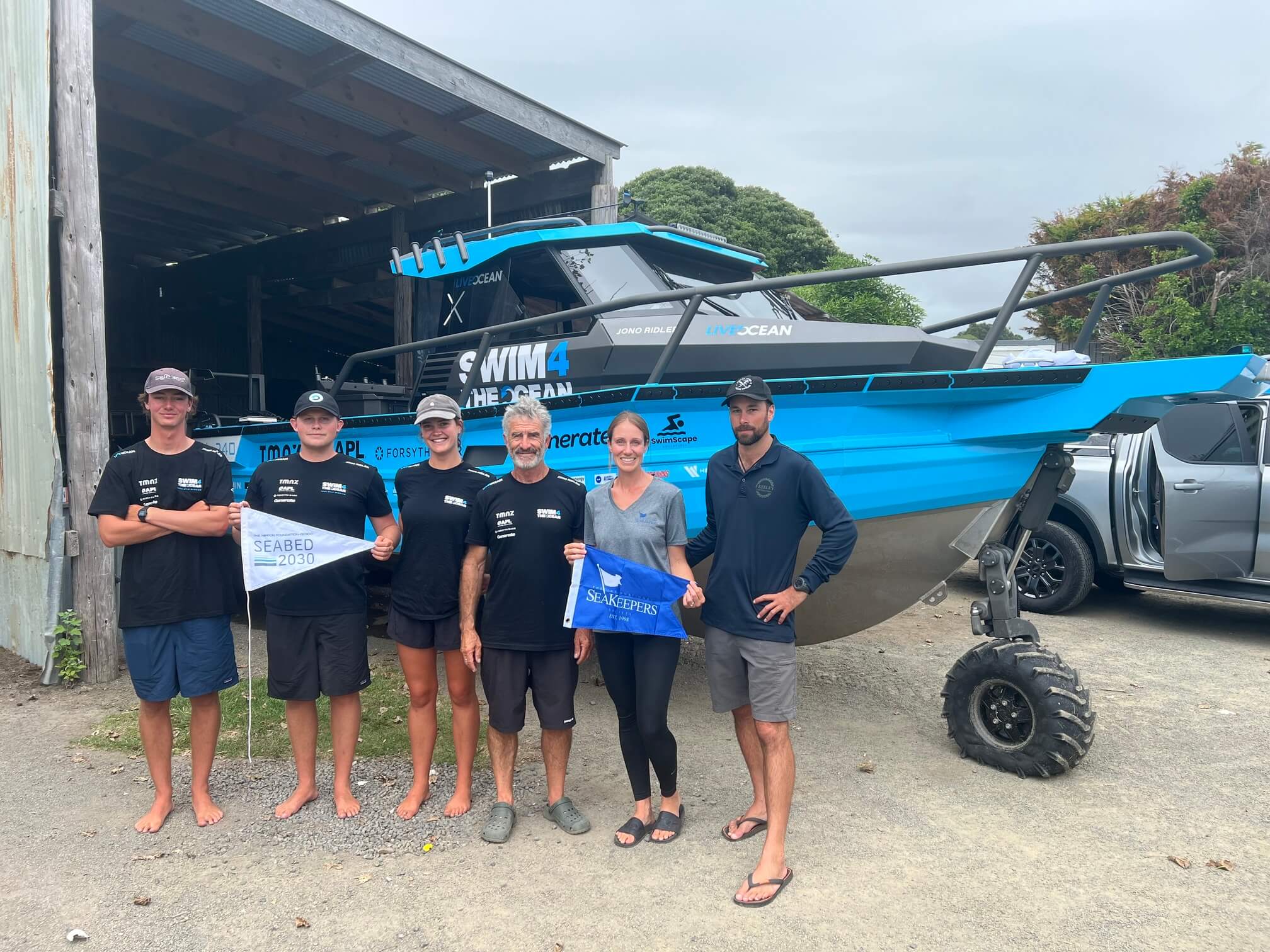
Swim4theOcean Supporting Seabed2030 Mapping
February 13, 2026
Vessels and locations listed below by program activity
NA
Read More
Oyster World Rally Environmental Programming
January 10th - 17th 2026
Vessels and locations listed below by program activity
NA
Read More
Citizen Science Engagement – December 2025
December 2025
Vessels and locations listed below by program activity
NA
Read More
Clipper Race Environmental Programming at Fremantle Stopover
8th - 16th December 2025
Vessels and locations listed below by program activity
NA
Read More
Citizen Science Engagement – November 2025
November 2025
Vessels and locations listed below by program activity
NA
Read More
Page
1
Page
2
Page
3
…
Page
21
About SeaKeepers
Mission
Who We Are
Team
DISCOVERY Fleet
Strategic Partners
Legacy Members
Contact
Impact
Highlights
Publications
Testimonials
Global Presence
SeaKeepers USA
SeaKeepers Asia
SeaKeepers United Kingdom
SeaKeepers South Pacific
Awards & Recognition
What We Do
DISCOVERY Program
Scientist-Led Expeditions
Citizen Science
Educational Outreach
Community Engagement
Marina Partner Program
Green Marine Program
Get Involved
Program Opportunities
At-Sea Research Opportunities
Citizen Science Opportunities
Educational Outreach Opportunities
Community Engagement Opportunities
DISCOVERY Vessel Portal
Become a SeaKeeper
DISCOVERY Program Application
Research Project Application
Educational Request Form
Lesson Plans
Cleanups
Events
Support SeaKeepers
Vessel Donations
Vessel Donation Program
Donate a Vessel
Vessel Inventory
Program Donation
Join the DISCOVERY Fleet
Media
News
Current Coverage
Press Releases
Newsletters
Press Kit
SeaKeepers Blogs
SeaKeepers Podcast
We use
cookies
to ensure that we give you the best experience on our website. If you continue to use this site we will assume that you are happy with it.
Ok